The British Isles are situated to the west of the continent of Europe. The British Isles consist of two large islands-Great Britain and Ireland - and a number of small ones. The island of Great Britain together with the small islands around it and the north-eastern part of Ireland constitute the United Kingdom of Great Britain and Northern Ireland that is more often called Great Britain or just England.
The territory of the United Kingdom is 244,000 sq. kms with a population of 50 million.
Great Britain is separated from the European continent by the North Sea, the English Channel and the Straits of Dover, which is only 33 kms wide in its narrowest part. In the west the British Isles are washed by the Atlantic Ocean.
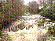
South-eastern Britain is a lowland country, which stretches up north to the foot of the Pennine mountains. The Pennines, which are much the same height as the Crimean mountains, run almost along the middle of north England. Further north are the Highlands of Scotland. In the west are the mountains of Wales.
There are many rivers in Britain but they are rather short. The Thames, on which London-the capital of the United Kingdom-is situated, is Britain's most important river. It runs east through the country's agricultural districts into the North Sea.
Great Britain is a highly developed industrial power. The main industrial regions are in the north and west of the country where the main deposits of coal are to be found. The oldest centre of heavy industry is the region of Birmingham and Sheffield known as the Black Country. The Black Country is also the main centre of armaments production. Two main textile regions are situated to the west and east of the Pennines.
As Great Britain is not very r
Похожие работы
... Warwick would have been able to count on thousands of men scattered over no fewer than 20 shires. Note the predominance of archers. The contemporary Paston letters give a good idea of the value of the longbowman during the Wars of the Roses. When Sir John Paston was about to depart for Calais, he asked his brother to try to recruit four archers for him: 'Likely men and fair conditioned and good ...
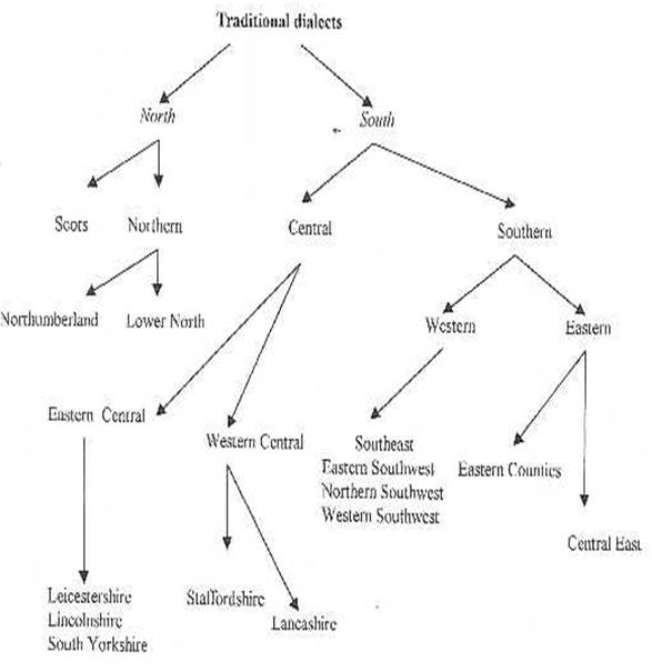
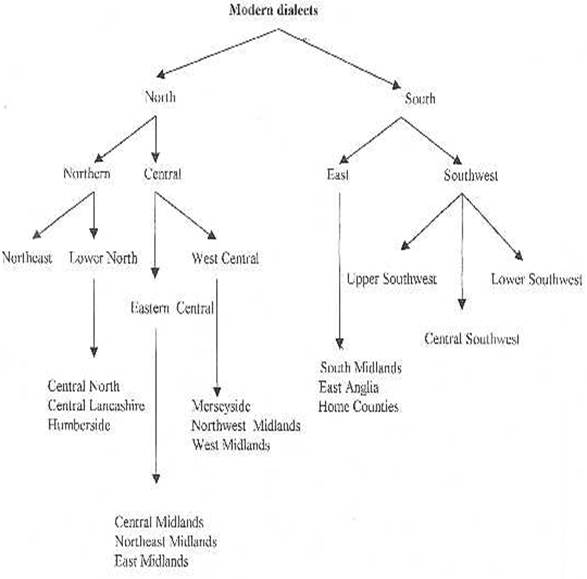
... . The pronunciation may seem rough and harsh, but is the same as that used by the forefathers; consequently it must not be considered barbarous. The other countries of England differ from the vernacular by a depraved pronunciation. Awareness of regional variation in England is evident from the fourteenth century, seen in the observation of such writers as Higden/Trevisa or William Caxton and in ...

... It was probably written in the thirteenth century. Another work, The Form of Perfect Living, was written by richard rolle with the same sort of aim. His prose style has been highly praised, and his work is important in the history of our prose. john wycliffe, a priest, attacked many of the religious ideas of his time. He was at Oxford, but had to leave because his attacks on the Church could no ...

... , being characterised by rounded hills and gritstone escarpments (the “edges”). The area is surrounded by major conurbations, including Huddersfield, Manchester, Sheffield, Derby and Stoke-on-Trent. The National Park covers 555 square miles (1,440 km2) of Derbyshire, Staffordshire, Cheshire, Greater Manchester and South and West Yorkshire, including the majority of the area commonly referred to ...
0 комментариев